Boundary Surveys
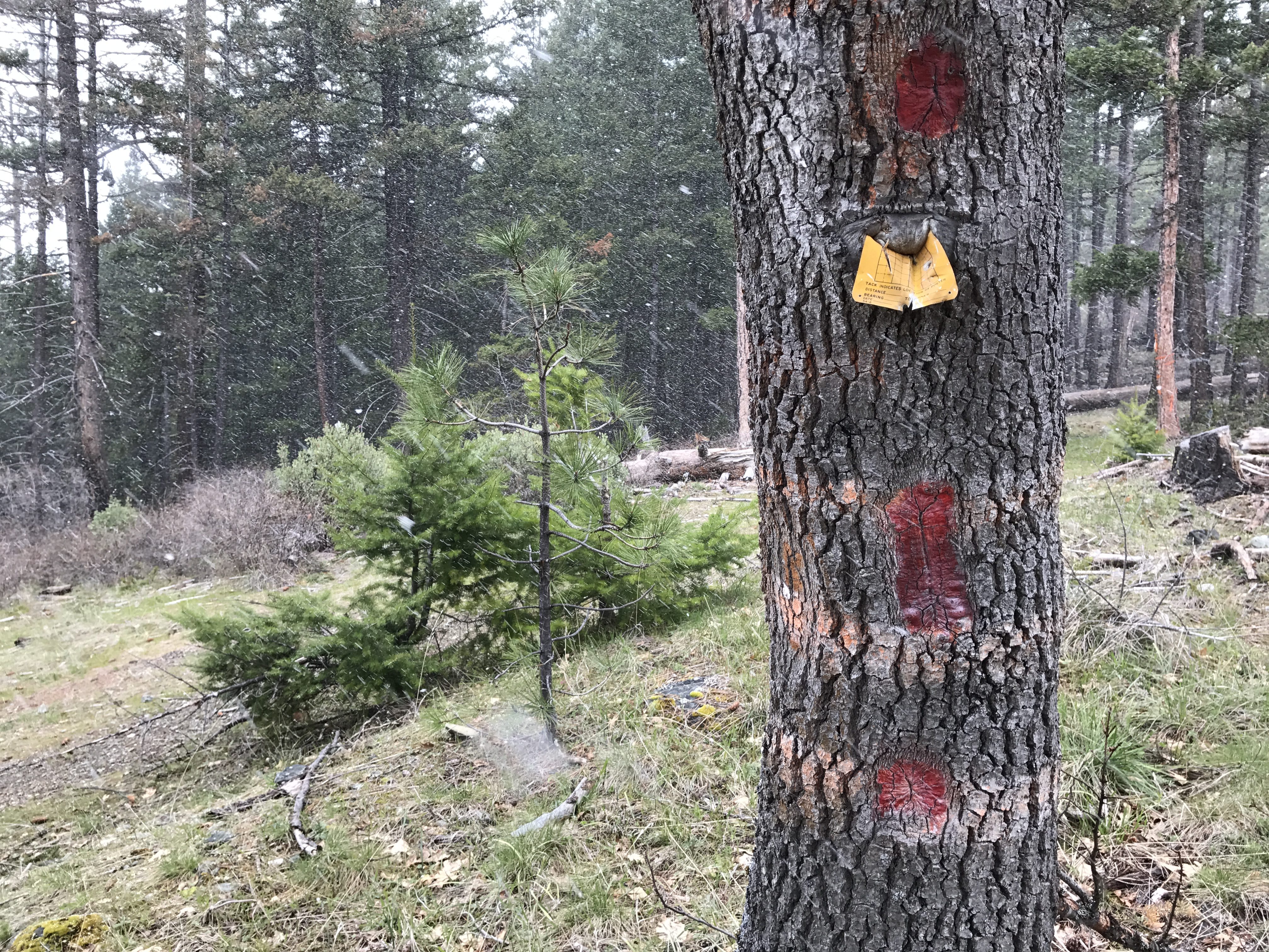
Boundary surveys can vary greatly in nature depending on where you are located. For those located in a subdivision, determining a property line may be as simple as uncovering corners that have been buried over the years. In other cases, fences or other improvements may have destroyed these corners, but once established the line is apparent between. For rural properties, this can be more challenging. Depending on how the property was created there may or may not be corners set in the ground. Often times, even if the corners are in, it may be tough to determine the line between the corners. A licensed Land Surveyor can clear and mark this line to avoid future conflicts with neighbors, and is often cheap insurance.
Topographic and Construction Surveying
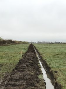
Before an Engineer can create a new design for site improvements, it is often necessary for a Surveyor to visit the site and hand-off a topographic map. While an Engineer is able to do this, it is often prudent to perform a boundary survey at the same time in order to ensure future designs meet all setback requirements of the local governmental agency. If necessary, after a design, it may also be good practice to have a licensed Land Surveyor layout a new design to avoid structures being placed too close or in conflict with a property boundary.

Our Services
Give us a call, text or email and let us better answer your questions and prepare a qoute.
